Addo Canyons
The project interest grows and the education and thought behind it is shared
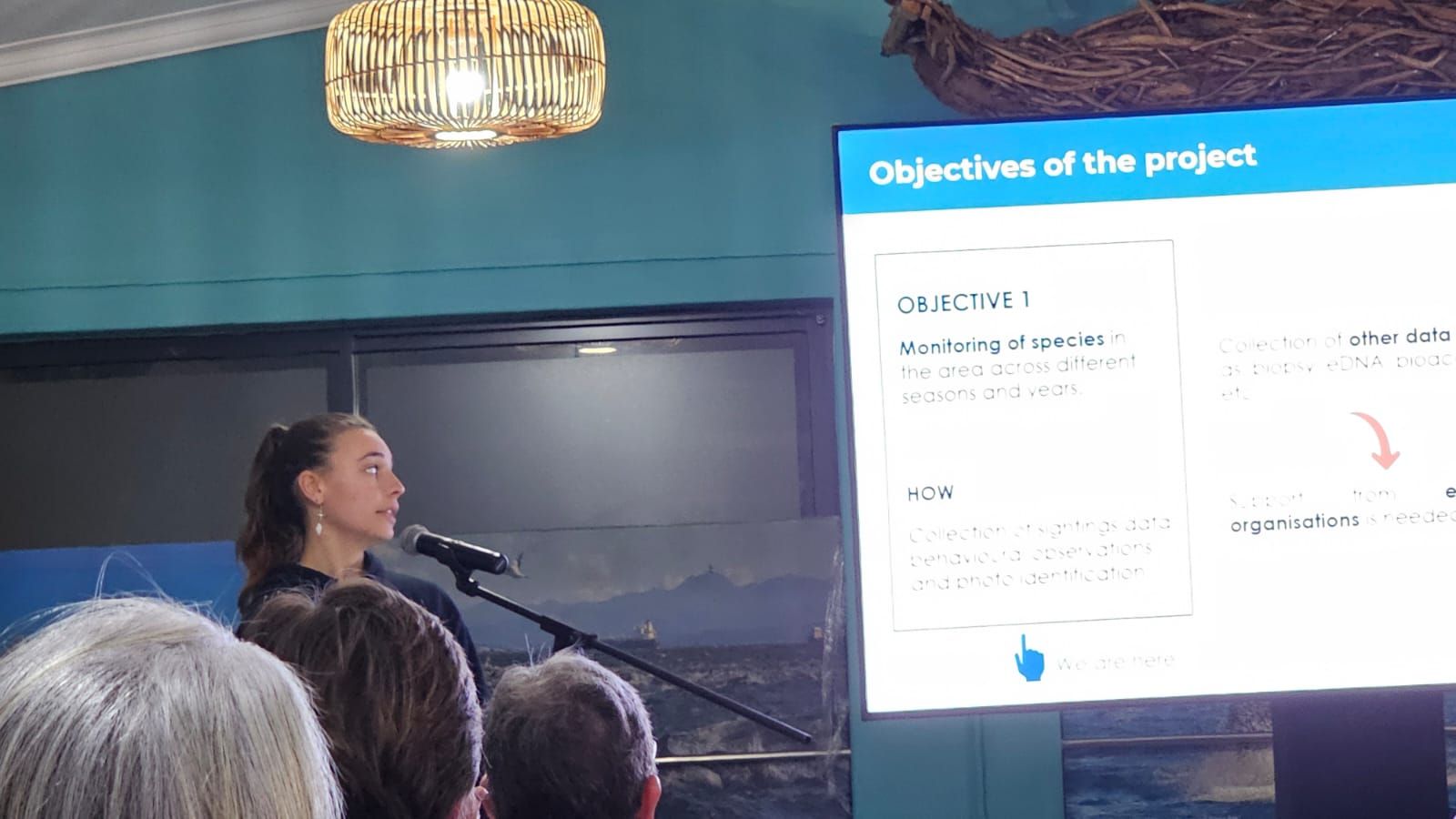
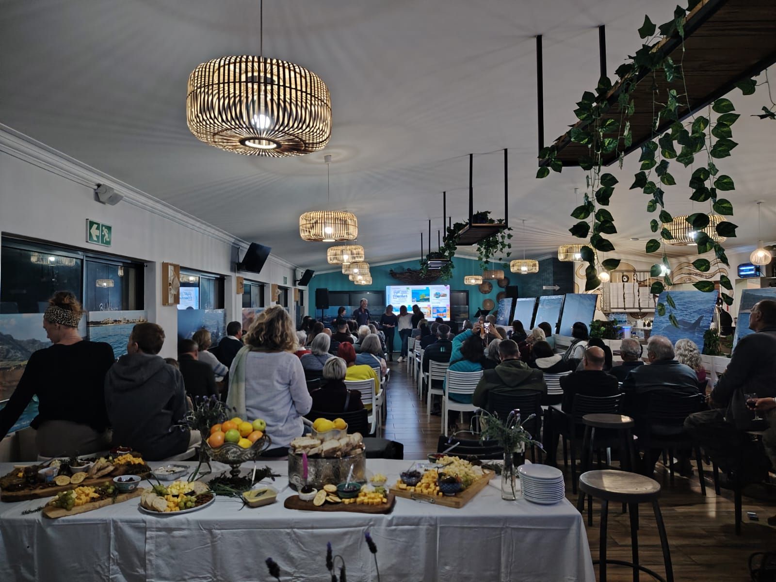
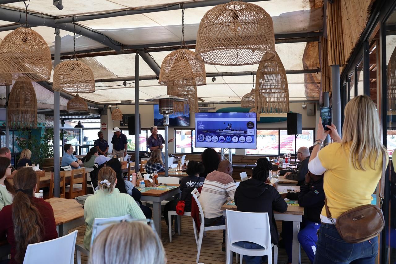
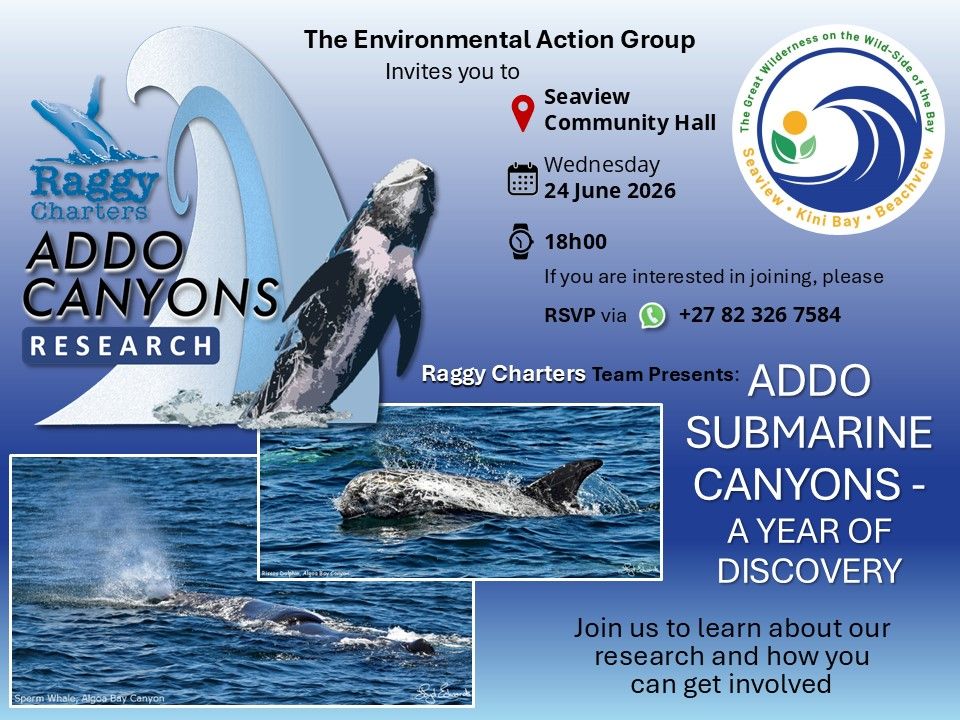
EAG Fundraiser and Talk Evening 13 July 2026
 .
.
Sponsored by: EAG, BlueVibz, Magentic Storm, Kwikspar Seaview, Oeanly Water Car Wash, Barnacles, Forest Hall Guest House, Sawubona Dash Burger, Printwize and Musician Errol.
Something Good Luncheon and Pubic Talk 14 July 2026
Sponsored by: Something Good, Magentic Storm
A huge thank you to all sponsors of both events.
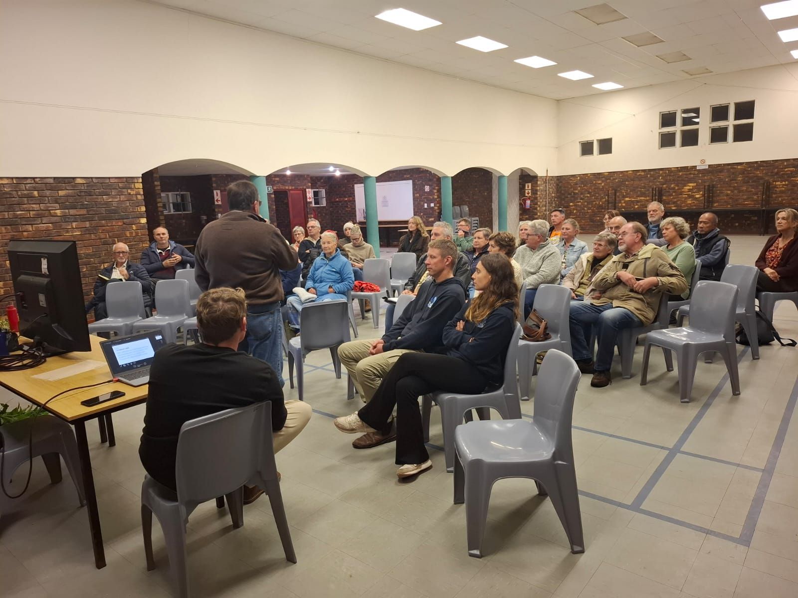
EAG Seaview 24 June 2026 - Thank for arranging the group who sat riveted and keen to learn about what we are doing and waht this project means for the bay
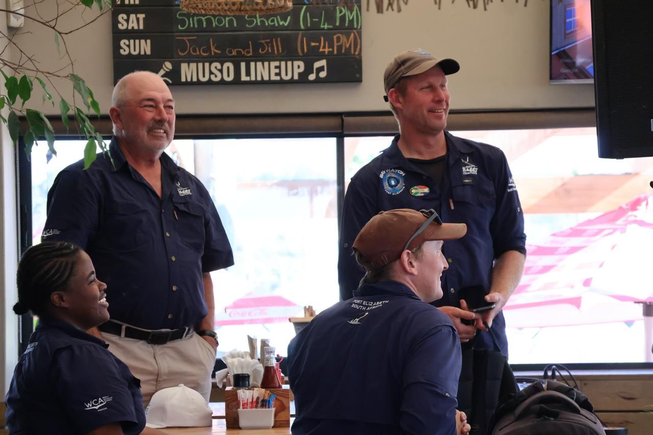
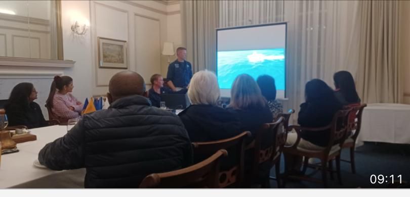
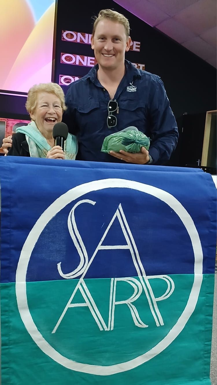
9th June Rotary WesT and 10th June SAARP members talk
Jake and Sean were invited to speak to the PE Rotary West Team. It is wonderful that the support and interest in this project is growing.
Jake then joined Lynne and members of SAARP for a lovely morning chat about the project.
As the scientists rotate due to time available to spend with us we wished Timea and Marthe farewell and welcomed Serena and Mar:

Serena: I am a marine and environmental biologist from Italy, with an MSc in Environmental Assessment and Management and an MSc in Marine Biology. I have over 10 years' experience in research, consultancy and fieldwork. As a marine biologist, I specialise in cetaceans and megafauna, fieldwork ranging from bioacoustics to photo identification, with the aim of conservation and education.

Mar: What began as a childhood curiosity about marine megafauna evolved into a career in marine biology, leading to an MSc in Marine Sciences from Sorbonne University (France). Through international experience collaborating with teams across Spain, Australia, Hawaii in academia, industry, and NGOs, I developed expertise in photo-identification, cetacean behaviour, bioacoustics, morphometrics, and the assessment of human impacts on marine ecosystems. My work aims to advance our understanding of marine megafauna and contribute to their conservation and protection.
March 2026
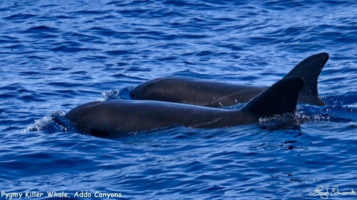
A research trip with a wonderful surprise sighting of Pygmy Killer Whales : Read all about it here.
January 2026
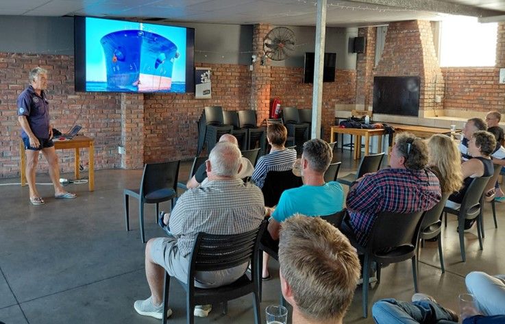
The project is going along. We have welcomed 2 Scientists, Marthe and Timea in early January to assist with this ocean study. 21 January 2026 Lloyd presented the project to PEDSAC members in the hope that local fishermen will get involved with the project and assist with data collection.

Timea: "I am a marine biologist from the Czech Republic with an MSc in Applied Aquatic Biology from the University of Portsmouth. My work focuses on marine animal behaviour, cetacean conservation, and applied field research in tropical marine ecosystems. I’m also a certified PADI Divemaster and love spending my time diving, and when I’m not in the water you’ll probably find me playing volleyball."
Marthe: "I am a French ocean conservationist and marine scientist with a Master’s degree in Conservation Biology from the University of Western Australia. I have over three years of international field experience with ORCA, working on cetacean research and marine conservation aboard expedition vessels in the Arctic, Antarctic, Alaska, and the North Atlantic. My work focuses on field research, environmental education, and raising public awareness of marine biodiversity."
September 2025
EXCITING NEW PROJECT- THE WAY FORWARD.
A compilation of our latest video footage from the Addo Canyons. Filmed under Commercial License, copyright Raggy Charters / Sean Pike.
"We have been busy with this project for the last two years now. If anyone knows a scientist that would be willing to assist, please forward this post."
Job Opportunity: Marine Biologist – Addo Submarine Canyons
The Addo Submarine Canyons are dynamic and ecologically significant marine ecosystems that require dedicated multi-disciplinary scientific attention.
To advance research and conservation efforts in this unique environment, Raggy Charters, in collaboration with the Bay Action Network Alliance (registered NPO), is seeking a passionate and qualified Marine Biologist to lead this initiative.
The canyons are emerging as important areas for marine mammals including sperm, pygmy and dwarf sperm, pilot, killer, false killer and beaked whales, Risso’s and Common (offshore) bottlenose dolphins, seabirds, fish larvae and marine resources.
They have sensitive seabed habitats with cold water corals, anemone gardens and sea pen fields.
Position Overview:
The successful candidate will play a pivotal role in initiating and driving marine science research in the Addo Submarine Canyons. The position begins with a 3-month trial period, with potential for further post-graduate study. During this time, the candidate will collaborate closely with the Raggy Charters team, local stakeholders, and the tourism sector, to expand scientific knowledge, promote conservation, and build community engagement in support of a future Marine Protected Area (MPA).
Minimum Requirements:
- A Masters' degree in Marine Biology (PhD advantageous).
- Academic background and/or field experience in at least one of the following:
o Cetaceans
o Zooplankton
o Passive Acoustic Monitoring (PAM)
- Strong fieldwork skills, with proven ability to collect and manage ecological data.
- Experience with cetacean photo-identification techniques.
- Public speaking and science communication skills.
- Own or borrowed equipment: mirrorless full-frame camera with 70–200mm zoom (or equivalent), laptop with image processing software.
Additional assets:
- Associations with institutions able to support PAM and zooplankton sampling.
- Previous boating experience and/or boating qualifications.
- A good candidate interested in a degree can work under supervision with the Whale Unit at the University of Pretoria.
- Collaborations with biodiversity scientists and conservation practitioners to support collaborative research and conservation.
Key Responsibilities
- Scientific research & documentation
o Conduct literature reviews to strengthen the scientific foundations for describing, understanding and managing canyon ecosystems.
o Rewrite and expand the current Addo Canyons document to support fundraising, vessel acquisition, and project visibility.
o Record and analyse all cetacean sightings during surveys, supported by photography and drone imagery.
o Contribute to plankton sampling and PAM data collection (where equipment and expertise are available).
o Foster scientific and conservation collaborations to improve the knowledge base and stakeholder network to support research and conservation.
- Fieldwork & vessel operations
o Conduct surveys aboard Raggy Charters’ vessels (2 catamarans available for initial use)
o Work alongside crew appointed by Raggy Charters.
o Participate in deckhand training (course funded by Raggy Charters).
- Community engagement & outreach
o Deliver talks and presentations to raise awareness and attract interest.
o Contribute to cruise content for the Raggy Charters website and maintain regular updates on Raggy Charters social media.
o Engage with the tourism sector to encourage local support for conservation initiatives.
o Identify a suitable tourism student that can join the project and bring the tourism sector on board.
Support & Compensation
- Accommodation in Port Elizabeth and shared use of a vehicle will be provided, see https://www.raggycharters.co.za/page/accommodation
- Monthly stipend of R6000.00 may be offered during the 3-month trial (preference given to candidates able to secure independent funding). The trial period runs from the 1st November 2025 until the 31st January 2026.
- 20% commission on independent cruise bookings, generated through talks and outreach.
- Opportunity to join additional cruises to collect cetacean data (e.g., Bryde’s whales, humpback dolphins).
Application Process
Interested candidates should submit the following to lloyd@raggycharters.co.za:
- Curriculum Vitae (CV)
- List of references
- Any boating qualifications and relevant experience
This is a unique opportunity to contribute to groundbreaking marine research in South Africa, while helping to develop community-driven conservation for the Addo Submarine Canyons.
The Addo Canyons, some 35nm south east of Cape Recife, on the Continental Shelf.
This is where the content will go.

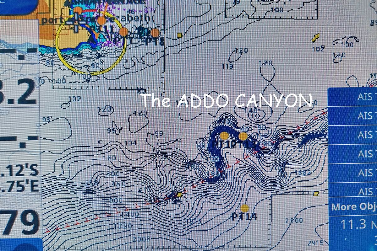
One of the Canyons is where all the depth contour lines come together, indicating a steep drop off. It goes from 200m to 2km very abruptly.

Phytoplankton spores hatch once they reach the Oxygen
rich warm surface waters.

These Cory Shearwaters are only here for one reason . . . food!
Plankton plays a big role in their diet.

Long-finned Pilot Whales are abundant along
the Addo Canyons.

There are many species of Beaked Whales along the Addo
Canyons, but very difficult to observe except in calm conditions.

Here they keep a Cuvier's Beaked Whale at the surface, while they
call in the rest of the pod. It is the youngsters that need to see
how the predation is done.
This is where the content will go.

How the upwelling caused by the sheering effect of the Agulhas Current brings cold underlying nutrient rich water to the surface.

The Phytoplankton feeds the Zooplankton which feeds all
the higher predators.

One of favourite birds and also a plankton eater, the Indian
Yellow-nosed Albatross.

These False Killer Whales are rarely seen . . . but we have
them on record!

Killer Whales have been observed in pods of up to 50 animals.
They depredate the tuna long-lines and cause havoc!

They rip the poor Cuvier's beaked to shreds in a flash.
This whale is the deepest diver of all the marine mammals . . .
up to 4km!
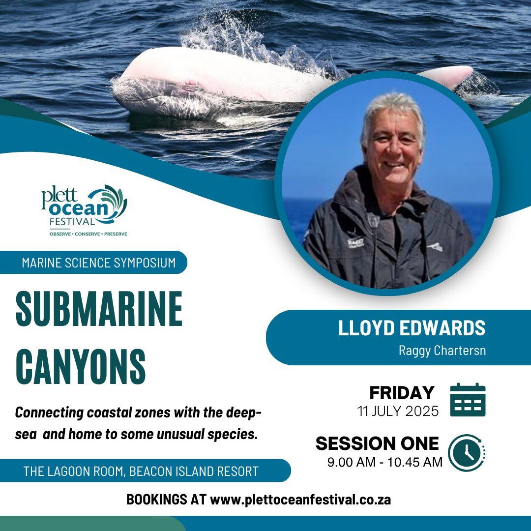
4 - 11 JULY 2025
Lloyd was invited to join this amazing Ocean Festival in Plettenberg Bay. A 10-day winter festival featuring a Marine Science Symposium.
Lloyd took this opportuity to educate all visitors on the Submarine Canyons and our plans to research, the Addo Canyons.
3 May 2025
Sperm Whales at the Addo Canyon and incredible video footage.


31 March 2025
Although we have been out to this amazing Canyon many times, it has become our new passion (and obsession!) and a great project to drive. Most of the marine scientists I have spoken to are very interested in this highly productive area.
Submarine canyons are found on continental margins, i.e. the continental shelf. There are around 660 of them worldwide, and we are lucky enough to have one 35nm south of Cape Recife. While we have been going there occasionally over the last 27 years, it is only recently that we have been doing it on a more regular basis . . . and wow, what rewards we have reaped!
The reason why these canyons are so productive is very complicated, but I have tried to summarise it and keep it simple, so it may not be very scientific! Also, despite there being so many of them around the globe, surprisingly little is known about their influence on deep-sea ecosystems. The Kaikoura Canyon off New Zealand, for example, supports a hundred times more biomass than other deep-sea habitats below 500m!
What makes our Addo Canyon so special?
Well, firstly, after the Antarctic Circumpolar Current, the Agulhas Current is the next most energetic ocean current system on the planet. It flows straight past this canyon, while following the continental shelf. The current transports 70 million cubic metres of water per second, way above any other Western boundary currents. The core of the current is where the water movement is fastest, ranging from roughly 4,9 to 8,8 km/h with a maximum of 9,3km/h. At the core it can be 34km wide. As it flows south from Maputo towards the Agulhas Bank, several processes that bring cold deep water onto the narrow continental shelf.
The surface temperature of the Agulhas Current ranges from 14 to 26 degrees Celsius and gets progressively cooler the further south it proceeds. It is not this simple for the lower levels of the current however. In summer, when the flow is strongest, the biggest difference in temperature is caused by the upwelling of nutrient and Oxygen-rich cooler waters onto the Continental Shelf. This causes the deeper sections to be colder than in winter.
The Addo Canyon is around 200m deep on the northern section, closest to shore. On the eastern side it drops down to 1km in about half a nm, while on the western side this takes about 1 nm. The drop from there down to 2km is a little more gradual, but still very impressive!
According to research, something weird happens at around 800m, depending on the time of the year. Here we find another current, the Agulhas Undercurrent or North Atlantic Deep-Water Current, which is 40km wide and flows in the opposite direction, towards the tropics! In winter, when the Agulhas Current is weaker, there is an increase in the flow of the deeper equatorial Undercurrent. It can reach a depth of 1800m, depending on the season. It is made up of cold water, which is very rich in nutrients. Due to the sheering effect of the Agulhas Current, this cold water is forced upwards and onto the continental shelf, in the vicinity of the canyon and other places. It is these very nutrients that feed the phytoplankton and seaweed, that give this area such an incredible and massive biomass of organisms. It is no wonder that the sardine run is in full swing at the beginning of winter and relies on this process for its successful survival.
Looking at the below marine chart, we can see that the canyon points in the direction of the Agulhas Current. This probably helps to channel water into the canyon and up onto the shelf, bringing the colder undercurrent with it. This is, however, not the only reason for its productivity.

The Addo Canyon . . . our new stomping grounds!

On our GPS you can clearly see how the depth contours come together. This indicates a sudden increase in depth. The canyon shape is clearly visible.
The Agulhas does not always flow in a straight line; it tends to meander between 1 and 7 times per year. Inshore, these meanders can bulge up to 20km more than normal. Offshore they can be up to 120km wide and are known as the Natal pulses. As these two phenomena move towards and away from the coast, so more cold nutrient rich water gets forced onto the shelf and eventually into Algoa Bay. The meanders also induce a strong inshore counter-current, which is why we often find kelp from the Western Cape washing up on our shores where it does not grow.
The Agulhas Current, like any other current that meets another water mass, acts as an oceanic convergence zone. This has the effect of driving the chlorophyll-laden surface water down. Something needs to take its place and hence another source of cold nutrient rich water, further fertilizing our hotspots and creating higher biological productivity.
Another source of nutrients and detritus in Algoa Bay and, thus, the Addo Canyon, are the rivers that flow into the sea, as well as the wind. This organic matter makes its way to the Continental Shelf in a state of flux and can be taken up into the food chain or deposited. Although very little is known about this process, under certain conditions, it could be resuspended and made available to plankton, further boosting the system.
As most of you Port Elizabethans will know, we often get freezing cold water in Algoa Bay in the middle of summer. Why is this? In summer, the trade winds or northeasterly winds predominate. These winds blow parallel to the coast and, due to the Coriolis Force caused by the spinning of the earth on its axis, deflect objects to the left in the Southern Hemisphere. This causes the water in Algoa Bay to move offshore, and the cold and nutrient rich deeper water takes its place. It can take between 1 and 2,5 days after the easterlies have been blowing, to force this water into Algoa Bay.
Our Bay is well known for an extremely high biomass and diversity of marine animals. We have an Indo-Pacific Bottlenose Dolphin population of around 28 000, which is the largest in our oceans. We have a south east coast population of around 360 resident Bryde’s Whales. There are tens of thousands of common dolphins, Indo-Pacific Humpback dolphins and Killer Whales. The Cape Gannet population on Bird Island is 95 000 breeding pairs (almost a quarter of a million birds), is the largest on the planet. We had the largest population of African Penguins, before the overfishing of our pelagic baitfish and ship to ship fuel transfers (bunkering) put an end to that. Never mind all the rest of the pelagic seabirds and fish.
These animals are only here for one reason and one reason only. They have a plentiful supply of food. The prey is being continuously fed by the upwelling process described above! Can you imagine how much food it takes to sustain all of these animals?
So, while Algoa Bay is fairly well studied and has plenty of education and environmental watchdog activity in place, what can we report from our recent cruises to the Addo Canyon?
Every single time we have visited the area; we have seen Sperm Whales feeding. The most observed in a cruise was 7. There could be so many more, but because they spend such extended periods at depth, they are not that easy to observe. These are the largest toothed predators ever to have existed on earth and also have the largest brain. They feed on deep-sea squid and can stay underwater for 2 hours and reach in excess of 2km.
The only time we did not see a Sperm Whale was on the 19th May in 2024. The reason was because there were over 100 sub-adult Humpback Whales feeding in the vicinity and we couldn’t discern their blows! Not a single marine cetacean scientist has ever heard about all these Humpbacks being in this area at this time of the year . . . they are only supposed to arrive in Algoa Bay at the beginning of June!
We have observed Long-finned Pilot whales, Killer Whales, False Killer Whales, Common (Offshore) Bottlenose Dolphins, Risso’s Dolphins and Dwarf Sperm Whales. Although they have been evading us, we know there are plenty of species of Beaked Whales that use the area. We will find them eventually, even if it is only on Passive Acoustic Monitoring (PAM)! On our last cruise, as per the attached images, we saw 400 Risso’s Dolphins, 600 Common (Offshore) Bottlenose Dolphins, Sperm Whales and an amazing Albino Risso’s Dolphin! As you may know, we have been monitoring another Albino Bottlenose Dolphin named “Popcorn” in Algoa Bay for the last 2 years.
Watch the video

Another Albino . . . Popcorn #2! We ran another competition to name this Risso's beauty - now called NOUGAT! Taken with a Nikon Z9 mirrowless, ISO 500, 200mm zoom, f/8 and 1/1600th second.

An adult Risso's gives us a breach . . . my first time ever to catch one out of the water!

Look at the scars! This is from fighting amongst themselves.

These offshore bottlenose are so much bigger than their inshore Indo-Pacific cousins. Note the shorn rostrum which is longer in the Indo-Pacific species.

They are usually associated with other cetaceans like Risso's, Pilot or False killer whales. They approach the boat closely and are very fast. The Risso's tend to keep their distance.
So, like in Algoa Bay, the only reason why the biomass is so high, is because there is so much food available. As explained, this is driven by various factors and “supercharged” by the Addo Canyon. We will be calling on scientists, marine boat building suppliers and other businesses and the community at large to join us in this exciting project.
I have summarised and simplified a great Project Outline by the Whale Unit of the Marine Mammal Research Institute (MRI) at the University of Pretoria. It is on the Ecological Status and Anthropogenic Impacts on Cetaceans in the South African Exclusive Environmental Zone (CETEEZ). The Addo Canyon is an extremely important part of the EEZ.
Operation Phakisa was launched in 2014 to unlock the potential of the largely untapped Blue Economy. We have to ensure that this does not carry on being exploitive as in the past. There are already factors caused by human impact that have led to climate change, which will limit the ocean’s productivity. The factors responsible for environmental change must be monitored more carefully in future. It is crucial to build up a population estimate of key and indicator species, many of which are present in the Addo Canyon. These marine mammals that we have been observing are regarded as a “natural indicator species for ecosystem health”. Apex predators help structure marine communities through top-down control and are vital to maintaining the equilibrium in the marine ecosystem.
The southern African sub-region is already recognized as a global hotspot for cetacean diversity, with 63% of the planet’s cetaceans occurring here. Our Addo Canyon, together with the entire Southern Coastal and Shelf waters of South Africa, are recognized as a CRITICAL HABITAT for marine mammals. HOWEVER, many cetacean species here remain poorly studied, especially in our Canyon. This limited data “highlights the enormous gap in knowledge and causes a lack of understanding about the potential impacts of expanding activities on this charismatic group”.
This lack of data means there is an inability to provide advice for mitigation and conservation management. How can new Marine Protected Areas be proclaimed that will benefit cetaceans and therefore the larger marine ecosystem? Although our MPAs have recently been increased to 5%, cetaceans were largely ignored in this process, despite their critical importance in the marine ecosystem. Again, this was due to a lack of information on them. We need to do our best with the Addo Canyon, and if it comes to light that this area meets the criteria, we must push to have it declared an MPA.
The ability to collect this data is not easy, given the often-adverse conditions of the area. One also wonders if government will be keen to finance research that will ultimately limit the success of Operation Phakisa? This is where the private sector, driven by tourism to the area, needs to step up and take action. We need to be supportive of and take guidance from organisations like the (MRI) Whale Unit and Nelson Mandela University (NMU) to kick start this process. Only once this data has been collected, will they be able to conduct a risk assessment for these cetaceans to anthropogenic activities like shipping, fishing and seismic surveys used in oil and gas exploration.
Our immediate priority is to engage with the MRI Whale Unit and NMU in order to be coached on how to collect data correctly. We will need to up our visits to the Addo Canyon on our existing catamarans, which although are very capable, cannot operate in marginal conditions. We have already been working with Butt-Cat Boatbuilders for the last year and designing another vessel that will be more suited to this operation. Our aim is to launch a campaign that spells out the above and start raising funds for this new build.
We plan to approach companies involved in supplying materials for the construction of vessels used in fishing and other marine activities to put back into marine conservation. We will be asking for product donations used in vessel construction and not finance. This will not only ensure that our fishing stocks are fished sustainably, but also that their businesses will continue to supply vessels to the industry.

Thanks to Environmental reporter Guy Rogers, who has been with us every step of the way on this incredible journey.
It is nice to get a front page mention. Thanks also to the Herald Newspaper for always giving our stories great exposure.


